Featured
-
-
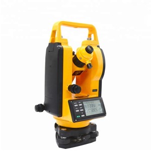
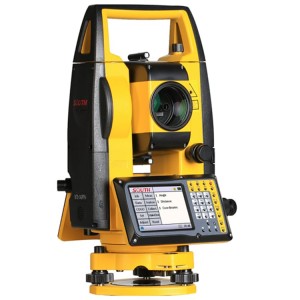
OEM Customized Total Station Trimble - Waterproof LCD Display Total Station Topcon System Total Station – Haodi
Features: * Topcon style operating system * Containg proven absoluteness encloder technology & advanced auto angle correction system * Good distance measuring accuracy and no prism measurement range can up to 400m * Building large capacity internal storage and support bluetooth * Complete application programs Models and technical parameters TS3-1 Telescope Imaging Erect Magnification 30X Objective aperture Telescope: 45mm Field of view 1 º30” Minimum of... -
-
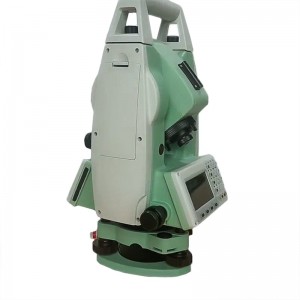
OEM/ODM Factory Leica Station Total - Land Survey Equipment trimble S5 Total Station – Haodi
Specification: Trimble Robotic Total Station Model Trimble S5 Angle measurement Sensor type Absolute encoder with diametrical reading Accuracy (Standard deviation based on DIN 18723) 1″(0.3 mgon) 2″ (0.6 mgon), 3″ (1.0 mgon), or 5″ (1.5 mgon) Angle Display (least count) 0.1″ (0.01 mgon) Automatic level compensator Type Centered dual-axis Accuracy 0.5″ (0.15 mgon) Range ±5.4′ (±100 mgon) Distance measurement Accuracy (RM... -
-
-
-
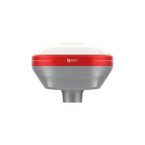
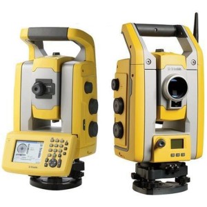
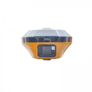
High Quality Rtk Gps Gnss Rtk - CHCNAV I73/M6II RTK GPS Survey Equipment CHCNAV GNSS RTK Rover – Haodi
project content parameter Receiver characteristics satellite tracking GPS+BDS+Glonass+galileo+QZSS, support Beidou third-generation satellites, support five-star sixteen-frequency operating system LINUX operating system Initialization time <5s (typ.) Initialize reliability >99.99% Receiver appearance button 1 dynamic/static switch key, 1 power key indicator light 1 differential signal light, 1 satellite light, 1 static data acquisition lig... -
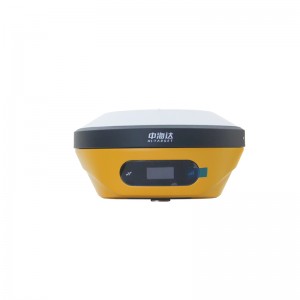
OEM Customized Hi-Target Rtk - Hi-target V2 Cheap Land Surveying Equipment Gnss Price Detail Survey Instrument RTK – Haodi
High Precision Hi Target V2 GPS RTK GNSS Rover And Base Station RTK GPS RTK V2 technical parameters GNSS configuration Number of channels: 800+ BDS: B1, B2, B3 GPS: L1, L2, L5 GLONASS: L1, L2 GALILIEO: E1, E5a, E5b SBAS: Support QZSS: Support Output format ASCII: NMEA-0183, binary code Positioning output frequency 1Hz~20Hz Static data format GNS, Rinex dual format static data Difference format CMR, RTCM2.X, RTCM3.0, RTCM3.2 Network mode VRS, FKP, MAC; support NTRI... -
2022 High quality Rtk Gnss Gps - Surveyor Equipment Surveying Instruments Hi-Target V98 Surveying instrument GPS RTK – Haodi
PERFORMANCE SPECIFICATIONS model V98 Gnss Channel 660 Satellite Tracked GPS L1C/A,L2E,L2C,L5 GLONASS L1C/A, L1R L2C/A, L3 CDMA2 GELILEO E1, E5A, E5B, ESAItBOC, E62 BEIDOUBl, B2, B3 SBAS : L1 C/A,L5(QZSS,WAAS,MSAS,GAGAN) POSITIONING PERFORMANCE High-Precision Static Horizon: 2.5 mm + 0.1 ppm RMS Vertical: 3.5 mm + 0.4 ppm RMS Static and Fast Static Horizon: 2.5 mm + 0.5 ppm RMS Vertical: 5 mm + 0.5 ppm RMS RTK Accuracy Horizon: 8mm+1ppm... -
OEM/ODM China Differential Gps - High Precision Kolida Kde-28s+ Depth Echo Sounder – Haodi
Onboard Software SDE-28S+ (for depth measurements) ·Real-time vivid display of graphic and data, easy approach to underwater waves ·Integrated sound velocity calculation for more accurate results ·Smart alarm for shallow water and ”No echo” tracking to secure hydrographic operations ·Real-time display of the water depth value tracking lines, easy to be compared with underwater waves Auto change of depth range Real-time disp... -
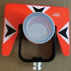
8 Year Exporter Total Station Prism Pole - South N4 Ip54 Reflectorless Station Estacion Total – Haodi
Distance Measurement Reflectorless 1000m Single Prism 5000m Accuracy: Non Prism 3+2ppm Accuracy: Prism N41: 1+1ppm N40: 2+2ppm Sheet 3+2ppm Measurement Time 1.2s In Fine 0.2s In Tracking Atmospheric Correction Manual Input, Auto Correction Prism Constant Manual Input, Auto Correction Temperature Correction Sensor Reading Distance Reading Max: 99999999.999m Min: 1mm Angle Measurement Accuracy N41: 1″ N40: 2″ Method Absolute, Continuous Disk Diameter...