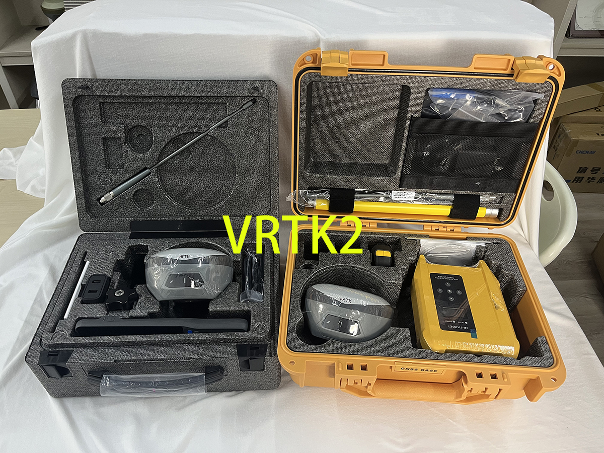
GNSS (Global Navigation Satellite System) is a term used to describe a system that encompasses multiple satellite constellations, including GPS (Global Positioning System), GLONASS, Galileo, BeiD, and others. GNSS receivers can receive signals from multiple satellite constellations to determine a position on Earth with accuracy.
RTK (Real-Time Kinematic) is a technique used to enhance the precision of position data derived from GNSS. RTK uses a base station and a rover to provide real-time, centimeter-level accuracy for surveying, mapping, and construction applications. The base station calculates its position accurately using GNSS signals and transmits correction data to the rover, which utilizes this correction data to calculate its precise position in real time.
In summary, GNSS refers to the system of multiple satellite constellations used for positioning, while RTK is a specific technique that enhances the precision of GNSS-derived position data in real time.
Post time: Jan-25-2024

