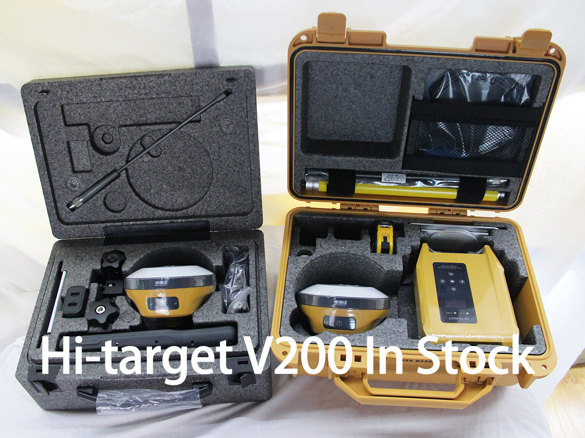
RTK, or Real-Time Kinematic, is used in various applications such as surveying, precision agriculture, construction, and navigation. It is commonly used to provide highly accurate positioning information for tasks that require centimeter-level accuracy, such as land surveying, machine guidance in agriculture and construction, and autonomous vehicle navigation. RTK technology relies on a network of fixed base stations and mobile receivers to provide real-time corrections to GPS signals, enabling precise positioning in real-time.
Post time: May-06-2024

