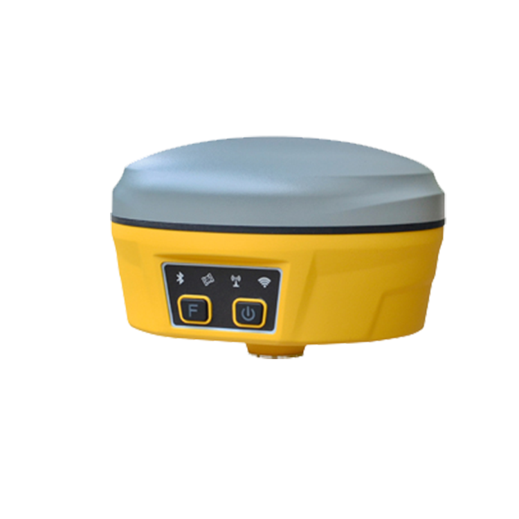
Topography Equipment GPS Geodetic RTK GNSS Base And Rover Tilt Measurement With PDA Surveying Instrument
SPECIFICATIONS:
| GNSS | |
| GPS | L1,L2,L5 |
| GLONASS | L1,L2 |
| BDS | B1,B2,B3 |
| GALILEO | E1,E5a,E5b |
| QZSS | L1,L2,L5 |
| SBAS | L1 |
| Supported data formats | NMEA-0183 |
| Modification amount of I/O | RTCM 2.X,RTCM3.X |
| Data update rate | 1Hz(Customized MAX 20Hz) |
| Recapture time | <1s |
| Cold boot | <40s |
| Accuracy | |
| Point positioning(RMS) | Horizontal:1.5m ; Vertical:3.0m |
| DGPS(RMS) | Horizontal:0.4m ; Vertical:0.8m |
| RTK(RMS) | Horizontal:±(10mm+1ppm) |
| Vertical:±(15mm+1ppm) | |
| Time Accuracy(RMS) | 20ns |
| Static Accuracy (RMS) | Horizontal:±(2.5mm+1ppm) |
| Vertical:±(5mm+1ppm) | |
| Speed Accuracy(RMS) | 0.03m/s |
| Tilt compensation(Within 30 °) | <2cm(Tilt function is optional) |
| System | |
| Bluetooth | V2.1+EDR / V4.0 Dual mode |
| WIFI | 802.11 b/g/n |
| Radio | External Launch: 5W/35W(External radio is adjustable) |
| Inner Power :0.5/1W adjustable | |
| Frequency :410-470MHz | |
| Communication protocol :TrimTalk,TrimMark3,PCC-EOT | |
| Network | All-Modes device |
| LTE FDD: B1/B3/B5/B8 | |
| LTE TDD: B38/B39/B40/B41 | |
| TD-SCDMA: B34/B39 | |
| CDMA: BC0 | |
| WCDMA: B1/B8 | |
| GSM: 900/1800MHz | |
| Internal Storage | 32GB |
| Light | |
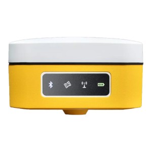
| Power lamp | power supply indicators |
| Satellite lamp | Blinking indicates active location |
| Bluetooth lamp | Bluetooth connection stay lights up |
| Data link lamp | Blink with a difference |
| WLAN | WIFI connection saty lights up |
| Battery | |
| Specifications | 7.4V,9750mAh |
| Endurance | ≥15Hours |
| Environment | |
| Operation temperature | ‘-20℃~-70℃ |
| Storage temperature | ’-40℃~-85℃ |
| Shock and vibration | Resistance to 2m drop with rod at normal temperature |
| Water / Dustproof | IP67 |
| Physical | |
| Material | Magnesium alloy casing+ABS/PC |
| Size | 156mm*156mm*102mm |
| Weight | 1.4kg |
| Accessories | |
| M68 receiver | X 1 |
| 5V/2A USB power adapter | X 1 |
| USB A To Type-C cable | X 1 |
| Connector | X 1 |


